2,000 Actions Being Screened For Water Quality Measures on Waters of LIFE Programme Farms
The Waters of LIFE Pilot Agri-Environmental Programme is about to enter Year 2 and participating farmers are looking ahead to putting actions in the ground for water quality.
Year one of participation focuses on programme induction and assessment of farms. Farmers undergo training to help them understand and maximise their involvement in the EU-funded initiative. Meanwhile, their agricultural advisors are trained and approved by Waters of LIFE to undertake assessments of habitat and the risk of runoff on their farms.
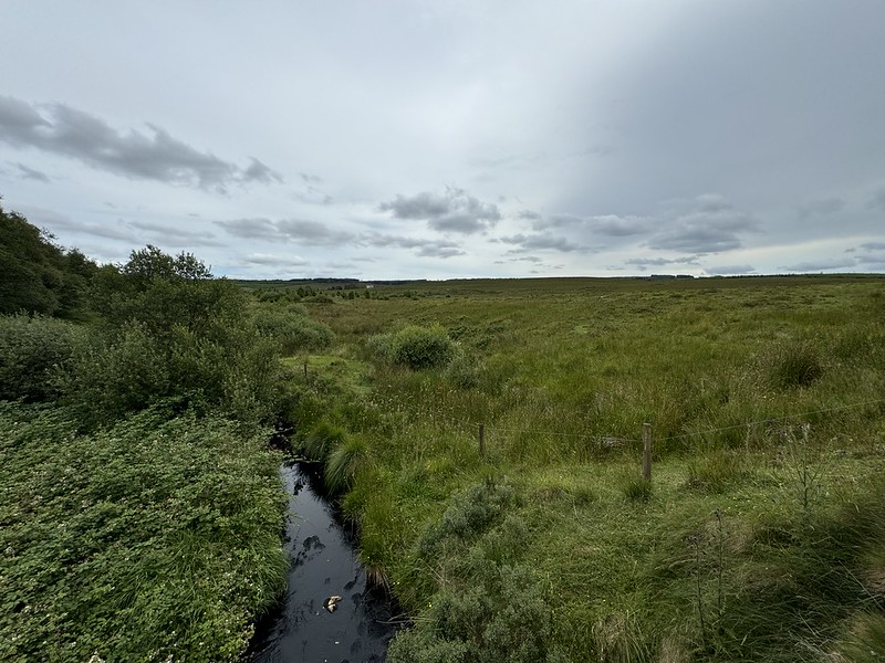
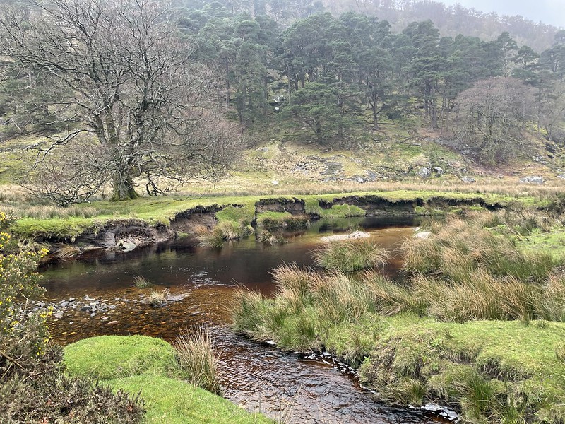
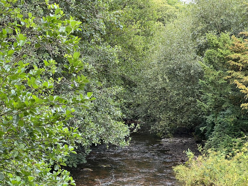
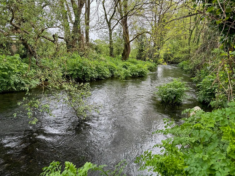
Habitats include riverside areas, species-rich grasslands, peatlands and woodlands and scrub. Results-based payments schemes like the Waters of LIFE pilot link payments to the environmental quality of a farm. The more a farmer can improve the quality and/or quantity of these habitats, the more payment they receive.
The agricultural advisor uses their experience and expertise along with their Waters of LIFE training to recommend actions on the farm. Actions are drawn from a set list of options. Farm infrastructure actions like fencing can keep livestock away from rivers. Green infrastructure like trees, hedgerows, bunds and sediment traps can break the pathways between sources and receptors (rivers).
Once approved, these actions are funded by the project and form the basis of a water quality farm works plan. All approved actions are funded by the programme.
Water Quality Farm Works Plans are currently in development for over 260 farms in Waters of LIFE sub-catchments covering over 10,000 hectares of land to be managed for water quality. Each plan is unique to each farm. Plans identify locations and details of proposed supporting actions on a map. Over 2,000 actions have been proposed to date by agricultural advisors on behalf of their participating farmers. All actions are designed to have maximum impact for water quality.
Actions must also be reviewed for any proposed negative effects, paying particular attention to precious habitats and their plants and animals. These include Special Areas of Conservation (SAC), Special Protection Areas (SPA), Natural Heritage Areas (NHA) and proposed National Heritage Areas (pNHA).
SACs and SPAs together form a network of protected sites across Europe known as Natura 2000 sites. Waters of LIFE are bound by a series of EU Legislation to ensure no significant effects on these sites as a result of actions implemented for water quality.
The Ecological Assessment Unit of the Department of Housing, Local Government and Heritage made an independent determination that Waters of LIFE supporting actions would not adversely affect the integrity of the Natura 2000 sites. They reasoned that actions are designed to protect habitats and due consideration would be given to any impacts to rivers and habitats downstream of actions.
The main process to ensure the right measure in the right place was a rules matrix that would eliminate potential impacts.
Paul Duffy is the Waters of LIFE Data and GIS Manager. He picks up the story:
“13% of Waters of LIFE sub-catchments are designated as special areas of conservation. The largest is the Wicklow Mountains SAC in the Avonmore sub-catchment, but there are 11 in total including 5 in the Islands sub-catchment.”
“The lower section of the Awbeg forms part of the Blackwater SAC. 31% of the sub-catchments are designated as Special Protection Areas. There would be a lot of cross over between the Wicklow Mountains SAC and SPA but you also have the beautiful Slieve Aughty Mountains SPA in the Graney.”
“Then you have Natural Heritage Areas for rare Irish species of plants and animals. Those are protected under law and proposed NHAs are significant too. NHAs and pHNAs tend to be smaller and it’s great to see a couple of them in the Shournagh. It shows that’s there’s genuine nature value across all five sub-catchments and there’s a lot we need to protect.”
There are 31 areas in total.
Avonmore Sub-Catchment: 1 x SAC, 1 x SPA
- Wicklow Mountains SAC (7455ha)
- Wicklow Mountains SPA (7932ha)
Awbeg (Kilbrin) Sub-Catchment: 1 x SAC
- Blackwater River (Cork/Waterford) SAC (25ha)
Graney Sub-Catchment: 3 x SAC, 1 x SPA, 3 x NHA, 4 x pNHA
- Glendree Bog SAC (151ha)
- Loughatorick South Bog SAC (161ha)
- Pollagoona Bog SAC (53ha)
- Slieve Aughty Mountains SPA (14957ha)
- Lough Atorick District Bogs NHA (199ha)
- Maghera Mountain Bogs NHA (98ha)
- Slieve Aughty Bog NHA (36ha)
- Cahermurphy Wood pNHA (9ha)
- Glendree Bog pNHA (153ha)
- Lough Graney Woods pNHA (14ha)
- Loughatorick South Bog pNHA (160ha)
Islands Sub-Catchment: 6 x SAC, 4 x NHA, 5 x pNHA
- Coolcam Turlough SAC (137ha)
- Corliskea/Trien/Cloonfelliv Bog SAC (404ha)
- Croaghill Turlough SAC (47ha)
- Kilsallagh Bog SAC (154ha)
- Lisnageeragh Bog and Ballinastack Turlough SAC (279ha)
- Williamstown Turloughs SAC (173ha)
- Bracklagh Bog NHA (105ha)
- Keeloges Bog NHA (127ha)
- Lough Namucka Bog NHA (276ha)
- Moorfield Bog/Farm Cottage NHA (140ha)
- Coolcam Turlough pNHA (139ha)
- Corliskea/Trien/Cloonfelliv Bog pNHA (403ha)
- Croaghill Turlough pNHA (48ha)
- Kilsallagh Bog pNHA (154ha)
- Lisnageeragh Bog And Ballinastack Turlough pNHA (300ha)
Shournagh Sub-Catchment: 2 x pNHA
- Blarney Castle Woods pNHA (1ha)
- Shournagh Valley pHNA (74ha)
So how does it work? A mix of cross referencing map layers, automated rules matrices, expert scientific judgement and management oversight.
“We’ve built a bespoke IT system to manage programme data,” explains Paul. “All 2000 supporting actions are marked as points on a map. A water trough would be mapped as a point, a fence as a line, a riparian margin as a polygon. These gets sent to the Department of Agriculture and they cross reference the data without about 150 other map layers representing the boundaries of protected areas, annex habitats, national monuments and the like that show use intersections of what we need to screen.”
“We then take that intercept report and feed it back into our IT system to apply a rules matrix. The intercept report might register a concern about installing a particular pond because one of the layers flagged the slope of land is greater than ten degrees – the pond would just flow away.”
“The rules matrix is adapted from existing schemes like ACRES and we’ve add layers ourselves. For example, we don’t want to put in forest where we’ve got very high scoring semi-natural grassland because there is a semi-natural habitat there. So we just want to outright reject that. It’s a way of automating the process of decision making for supporting actions.”
“From there, our catchment science team would use their expertise to judge if the rules matrix was correctly applied or if there was a reason it should be overridden. For example, the intercept might flag an area that’s used by geese and swans but the scientist may review the site and the field is surrounded on all four sides by very high trees. So it’s unlikely to be used by geese and swans because they can’t fly in and out of it.”
“You might also have extensive fencing proposed which may not trigger a concern but scientist would determine whether or not it offered any actual environmental benefit, which is what it’s all about.”
“As the pilot develops we can use the insights we’ve learned from implementation to further refine the screening process with additional layers. We’re always conscious that we’re trying to build processes that can be adopted by others and future projects can build on the work we’re doing.”
Click Here To View the Waters of LIFE Natura Impact Report
Click Here To View the Determination on the Appropriate Assessment (Ecological Assessment Unit)