The Dead River Is Alive! Ayle NS Visit Report
The Dead River is Alive!
That was the key message used to kick off Science Week 2027 at Ayle National School, Co. Tipperary.
Waters of LIFE and River Basin Management staff visited the school on Monday, 9th November to speak with pupils about water quality and catchment management in their local river.
It was a “wellies-on” experience for all five classes and 130 children.
A local farmer kindly provided access to the Dead_10 water body, located opposite the school. The name Dead River, or An Abhainn Mharbh as Gaeilge, refers to the gentle flow of the river as it makes its way down from the nearby Red Hills.
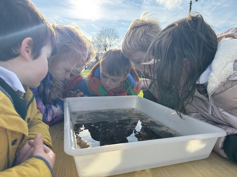
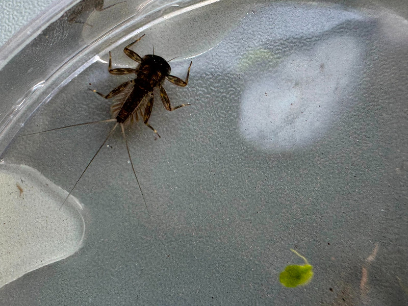
The river currently has a Poor ecological status. A kick sample revealed water louse and leech, both of which can be associated with poorer water quality. However, the children also observed many positive features, including the natural form of the channel and the mature hedgerows along the riparian margin that help protect the river. Pupils were delighted to discover flattened mayfly in the kick sample, a positive indicator of water quality. They were also fascinated by freshwater shrimp and cased caddisfly larvae.
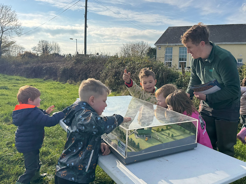
The school was presented with a large-format map of the Dead_SC_10 sub-catchment and encouraged to identify where their school, homes, towns and villages sit within the local catchment and its five water bodies:
- Cauteen_10
- Cappawhite Stream_10
- Dead_10
- Dead_20
- Toem Stream_10
Learning outcomes were aligned with the Social and Environmental Education (SEE) Specification for Primary and Special Schools under the My Locality strand.
Stage 1 pupils (Junior and Senior Infants) were invited to observe and connect with the macroinvertebrates that live in their local river. They were also introduced to the concept of a catchment, learning how rain falling on the nearby Red Hills can flow past their school and eventually reach the ocean.
Stage 2 pupils (First and Second Class) were asked to identify and describe features of macroinvertebrates such as tails (cerci) and gills. Using the map, they traced the flow of water from their school to the Mulkear River within the Lower Shannon and Mulkear Catchment.
Stage 3 pupils (Third and Fourth Class) and Stage 4 pupils (Fifth and Sixth Class) investigated the kick sample and examined the riparian zone for positive indicators of water quality. They were also challenged to share their knowledge of local water bodies. Stage 4 pupils were introduced to the concept of citizen science stream monitoring and discussed local water quality pressures and potential solutions.
All pupils were highly engaged and worked together in small teams to ensure everyone enjoyed the experience. Having previously learned about invasive species, they showed a particular interest in the Giant Hogweed Project. They were a credit to their teachers, their school and their community
Further Reading:
A Beginner’s Guide to Water Quality Monitoring (River Basin Management Service)
EPA Data for Dead_SC_10 Sub-Catchment
Lower Shannon & Mulkear Catchment Assessment
West Tipperary Giant Hogweed Control Programme
Coordinating Team for Ayle NS Visit:
Paul Duffy (Waters of LIFE): Data and GIS Manager
Darragh Kelly (River Basin Management Service): Community Water Officer – Midlands and East Region.
Annette Kiely (Ayle NS)
Maggie Morrissey (River Basin Management Service): Senior Community Water Officer – Midlands and East Region.
Ross O’Donoghue (Waters of LIFE): Stakeholder Relationship Manager